Pollution Project - Data mapping
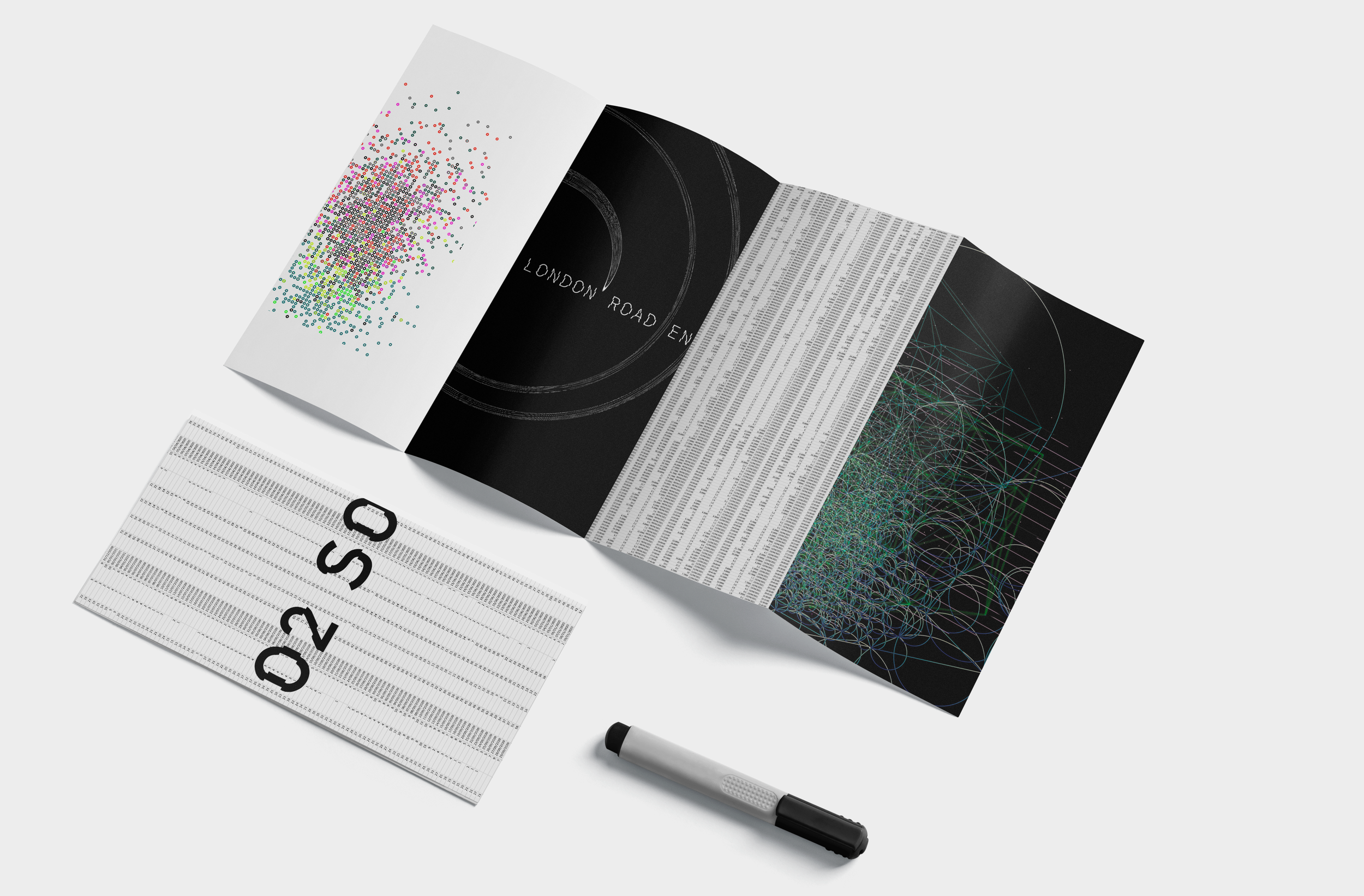
I used data mapping software to create comprehensive visualisations of pollution rates in both London and Bath. The software allowed me to integrate diverse datasets, including air quality measurements, traffic patterns, and industrial emissions, providing a holistic view of pollution sources and trends. Through interactive maps and graphs, I could pinpoint pollution hotspots, analyse spatial patterns, and compare pollution levels between the two cities. This enabled informed decision-making for implementing targeted environmental initiatives and advocating for sustainable urban development, ultimately contributing to a cleaner and healthier living environment for residents and visitors.